
Regional - Pilbara/Kimberly Interactive Map & Learning Centre
The Western Australia Interactive Map is a youth‑led, place‑based digital learning platform that connects students, educators, and communities across WA through food, culture, Country, and storytelling.
The platform invites students to document and share knowledge about their local area — including food systems, bushfoods, agriculture, language, cultural custodianship, and lived experience — and to see their contributions become part of a living map of Western Australia.
This initiative empowers young people to become researchers, storytellers, and knowledge keepers, while supporting teachers with curriculum-linked inquiry questions and culturally respectful learning frameworks.
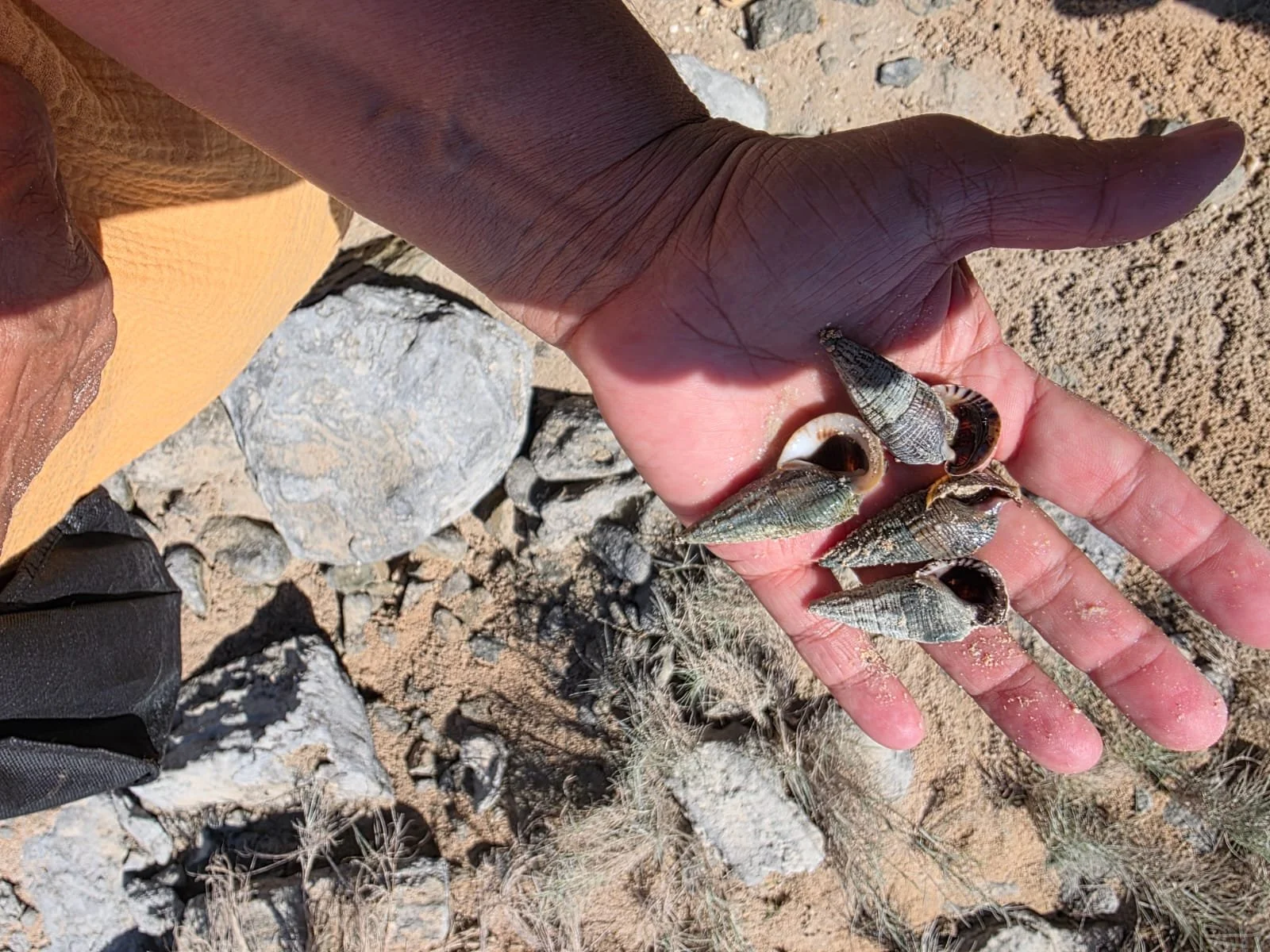
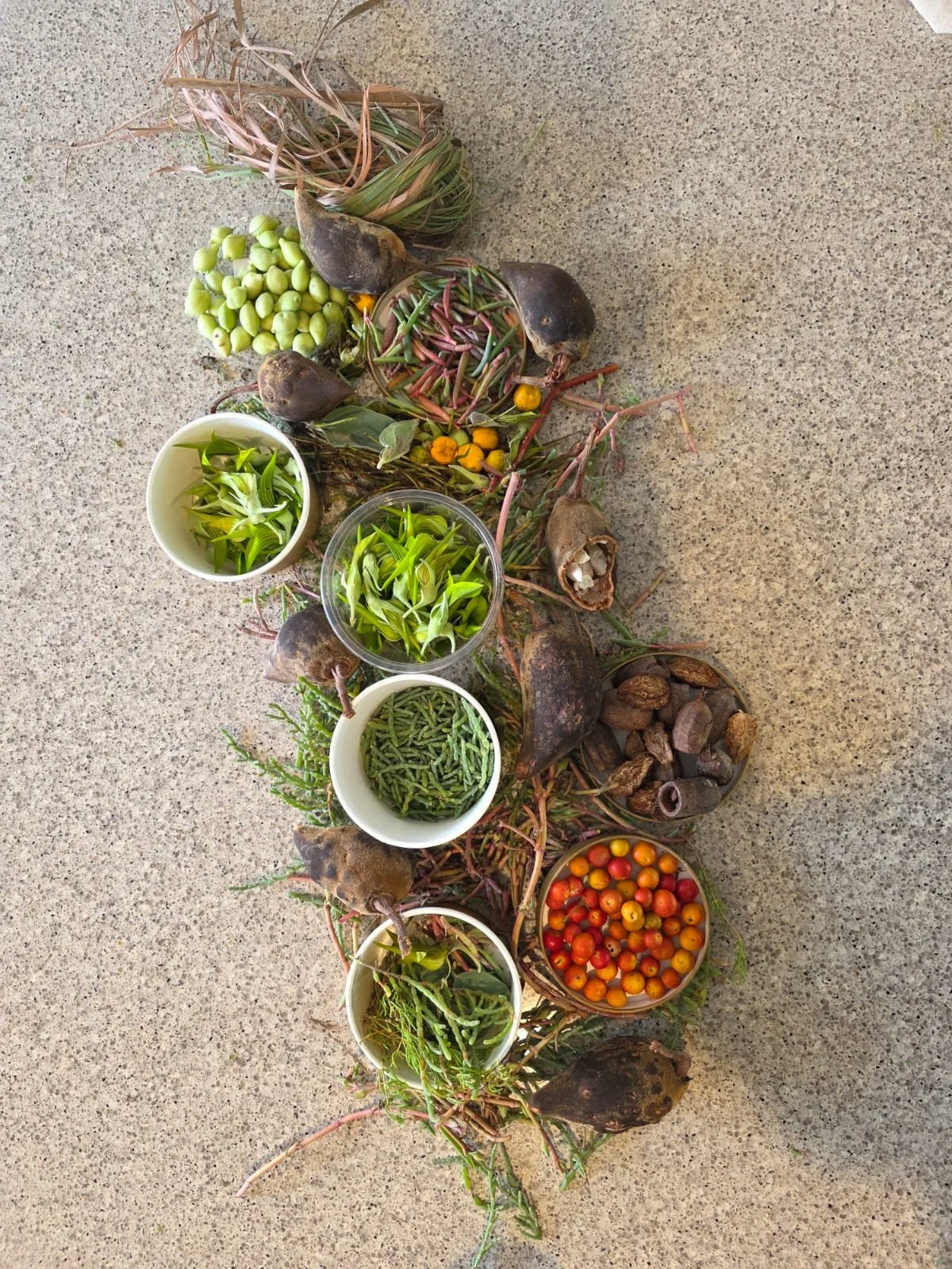
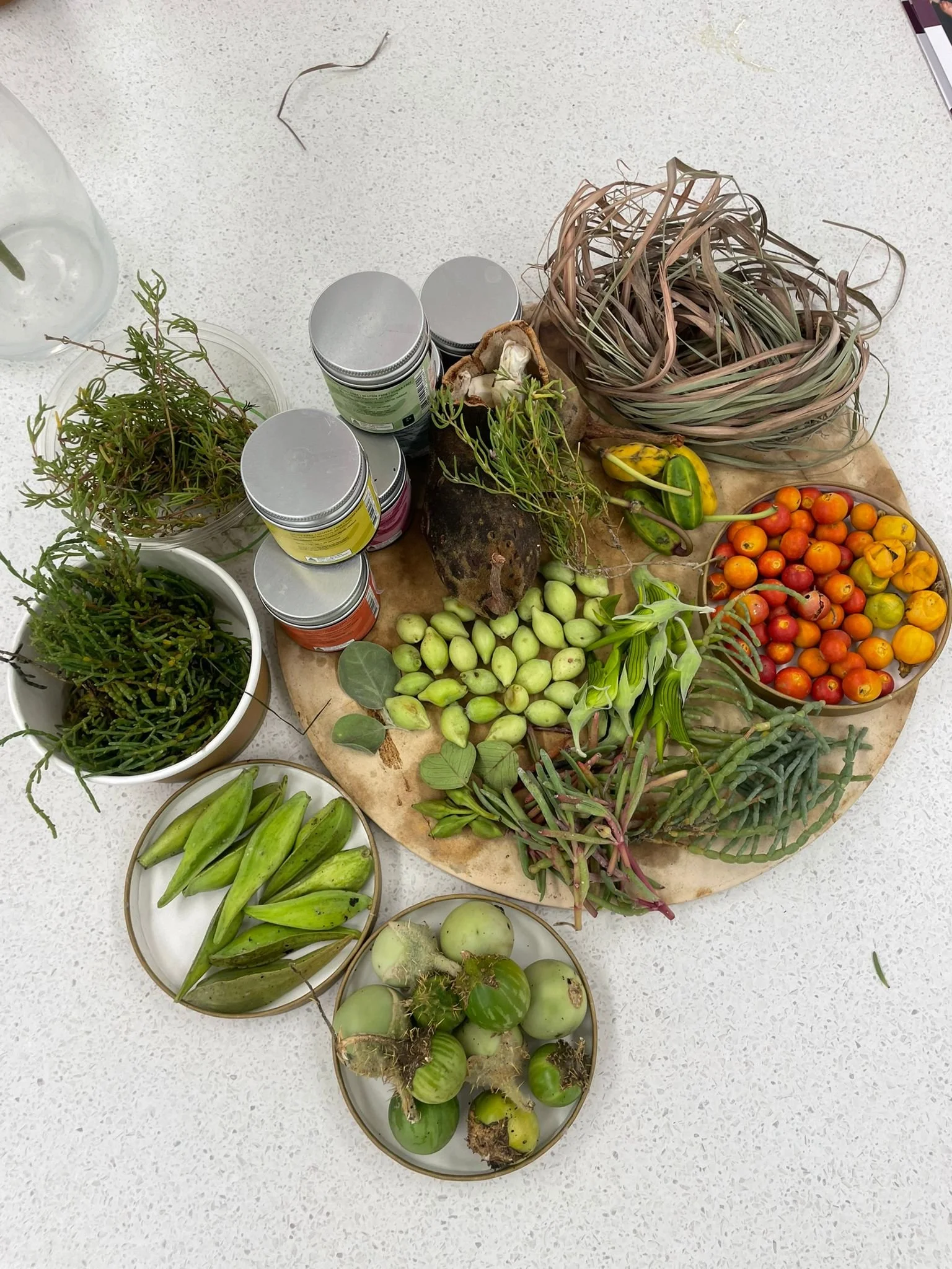
This is a celebration of young people and bush food. We want our young people to share their stories, where they come from and the regions the Prepare Produce Provide team have the privilege to visit, learn and share knowledge.


What It Is
A web-based interactive map of Western Australia where:
Each location becomes a story point
Students can upload photos, videos, short texts, and research
Communities share local knowledge, food stories, and cultural connections
Elders and cultural knowledge holders contribute wisdom
Educators guide student inquiry using structured, curriculum-aligned prompts
Who It’s For
Students (Primary to Secondary)
Educators seeking place-based, inquiry-driven curriculum tools
Aboriginal communities and Elders who wish to share knowledge in culturally safe and approved ways
Families and local organisations connected to food, land care, and cultural education
Key Outcomes
Youth engagement and leadership
Curriculum-aligned research and digital literacy
Stronger connection to Country and local identity
Respectful sharing of First Nations knowledge
Increased understanding of food systems (bushfoods + agriculture)
Intergenerational learning

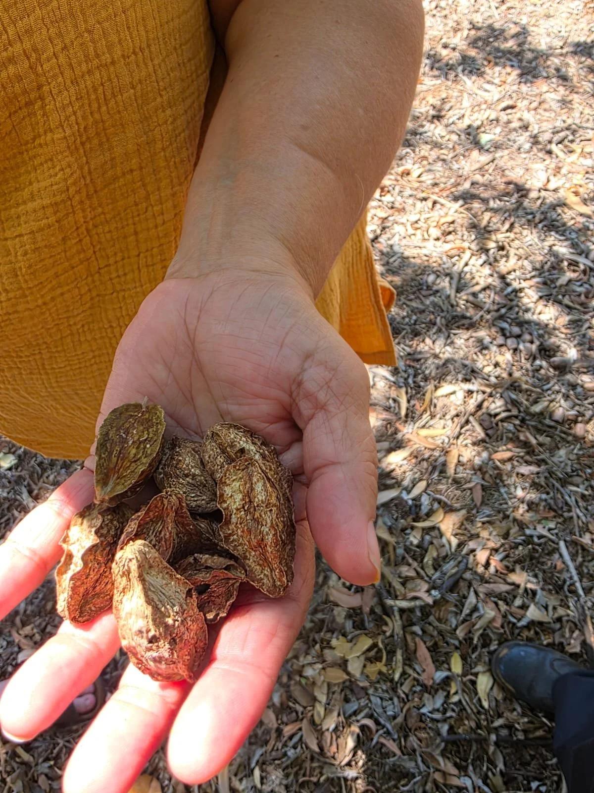
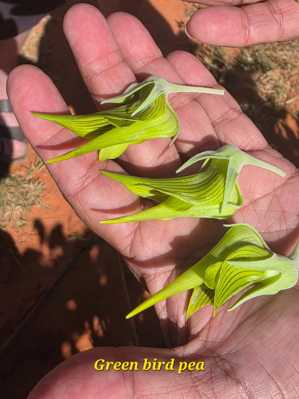
Interactive Map - Indigenous Bushfoods & Stories
Our interactive map is continuously updated. Please click on the location pins where available to read our stories.